What is an iceberg?
An iceberg is a large piece of freshwater ice is floating freely in open (salt) water. To be an iceberg, the height of the ice must be greater than 5 m (16 ft) above sea level and the thickness must be greater than 30 m (100 ft) and the ice must cover an area of at least 500 square m (5400 sq ft).
Floating pieces of ice smaller than this are termed “bergy-bits”, or smaller again, “growlers”.
How do icebergs form?
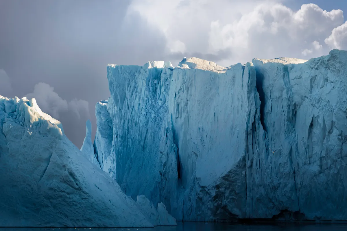
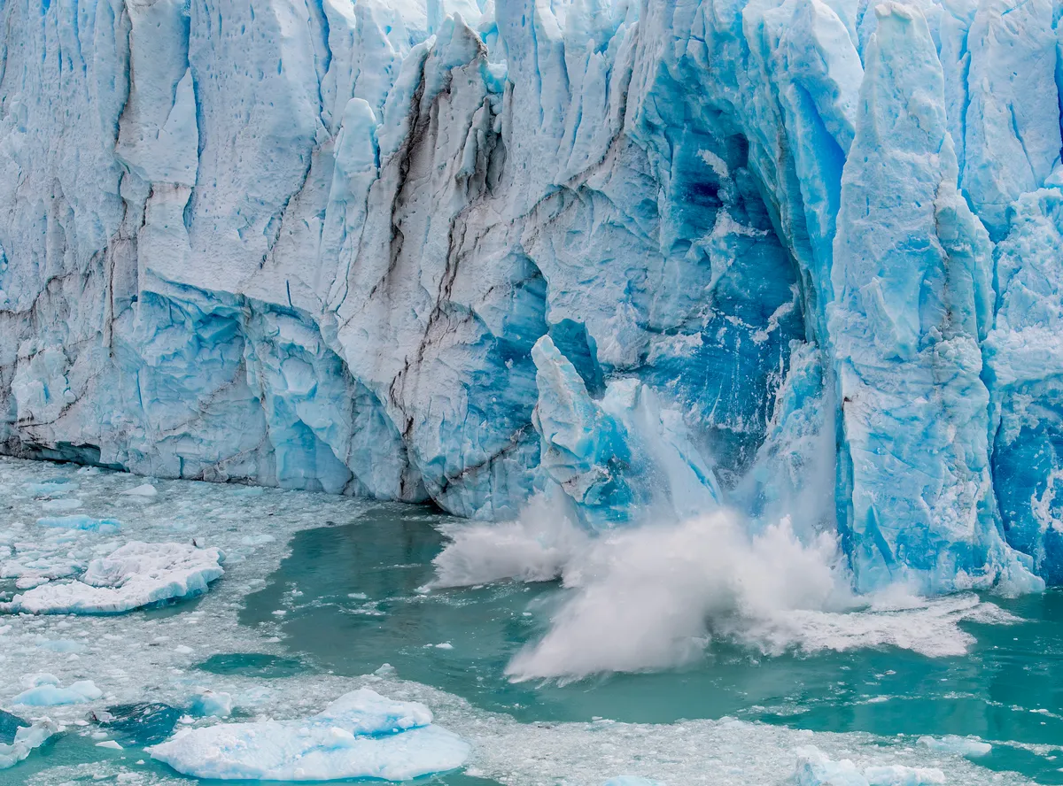
Ice on land flows towards the ocean as glaciers and ice sheets. If the ice reaches the sea it often continues to extend as a floating ice shelves or ice tongues. Pieces of ice naturally break off and float away – these are icebergs. When icebergs break off, the process is known as calving.
Do icebergs float?
All icebergs float initially. However, they may become grounded when they enter waters that are too shallow, and they become stuck on the sea floor. They could remain grounded for months to years until they melt enough to float again and continue drifting.
Why do icebergs appear blue, green and stripey?
Icebergs appear blue because ice absorbs more longer wavelength light (yellow/red colour) than shorter wavelength blue light, therefore reflected light is blue.
However, certain parts may otherwise appear green or brown, which is the result of other particles in the ice which changes how the light is reflected. Particles such as algae, rock dust and patches of saltwater can all make the icebergs appear multicoloured.
Where are icebergs found?
Most icebergs are generated from the glaciers and ice shelves of the Antarctic continent and land-masses adjacent to the Arctic Ocean. They can also frequently found in the sub-arctic region of Chesapeake Bay (Canada).
Once formed, they can drift some considerable distance, sometimes into sub-polar and temperate waters, and into major shipping lanes. Icebergs are also found in some inland lakes where glaciers terminate, for example in Patagonia.
How big are icebergs?
Icebergs can reach considerable size. They can reach a height of more than 100 m (300 ft) above the sea surface.
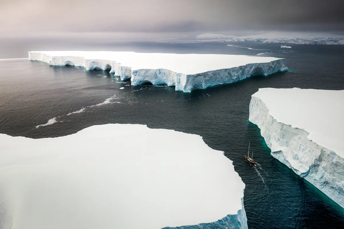
The largest iceberg presently in the ocean is called A68a, which is 158 km long and 48 km wide (roughly the size of Cyprus), containing around a trillion tonnes of freshwater.
The iceberg is presently heading straight for the British Overseas Territory of South Georgia where it may become grounded. The largest iceberg ever recorded was called B15 and was 295 km long and 37 km wide (larger than the whole island of Jamaica).
How much of an iceberg is underwater?
Approximately 90% of an iceberg is below the water, hence the phrase “only the tip of an iceberg”. Since water expands as it freezes, the same mass occupies more space and so ice is less dense than liquid water.
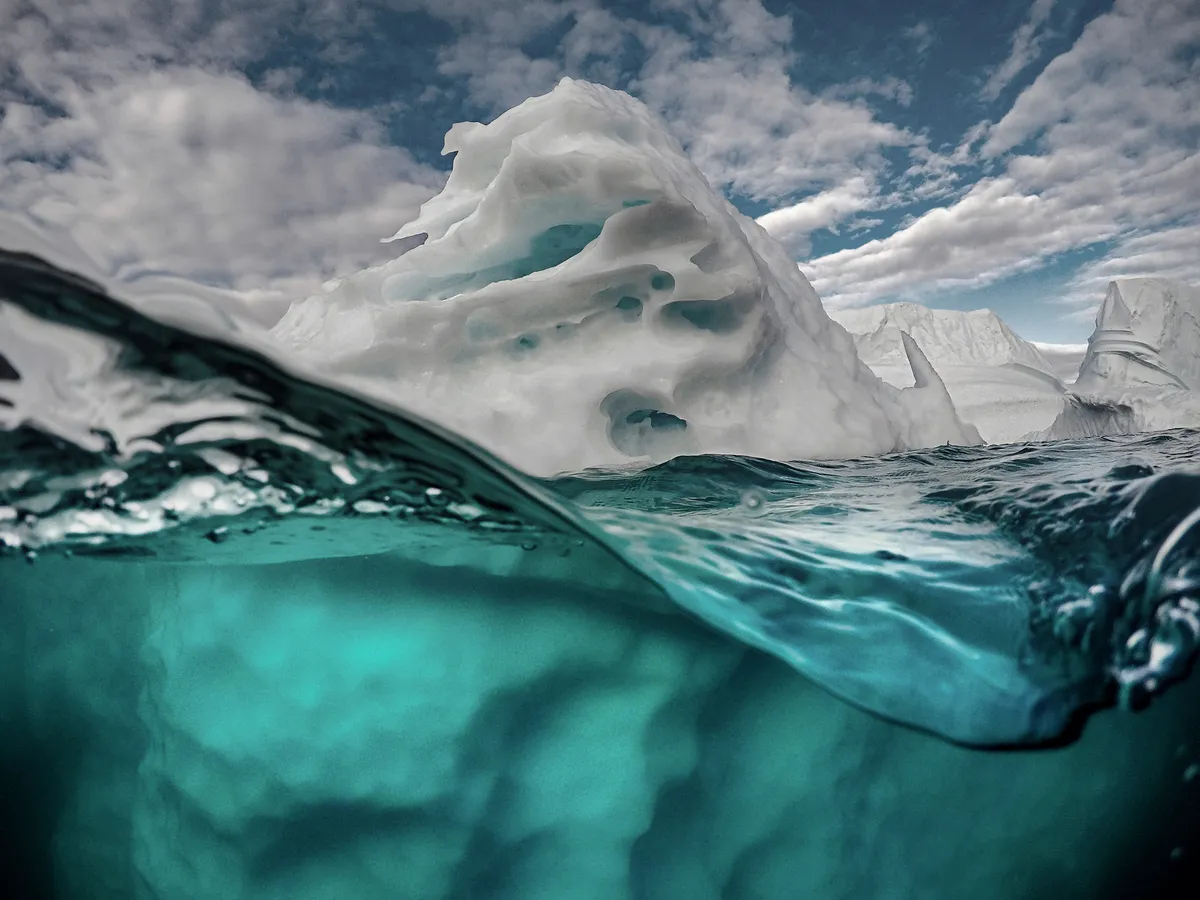
Because of this density difference icebergs float in water. Due to minor variations in the density of the iceberg and sea water, there is some variation how much iceberg is below the water.
Do icebergs ever tip over?
Large tabular icebergs do not flip frequently, but other icebergs are known to dramatically roll over. Since icebergs are mostly below the water and most melting also happens below the water, they can become top heavy, unstable and roll. As icebergs disintegrate, they can also split and large pieces can dramatically fall off into the ocean.
What’s the difference between an iceberg and an ice floe?
An ice floe generally refers to an expanse of sea ice which is floating on the ocean. Sea ice forms when the ocean freezes to form a layer of floating ice.
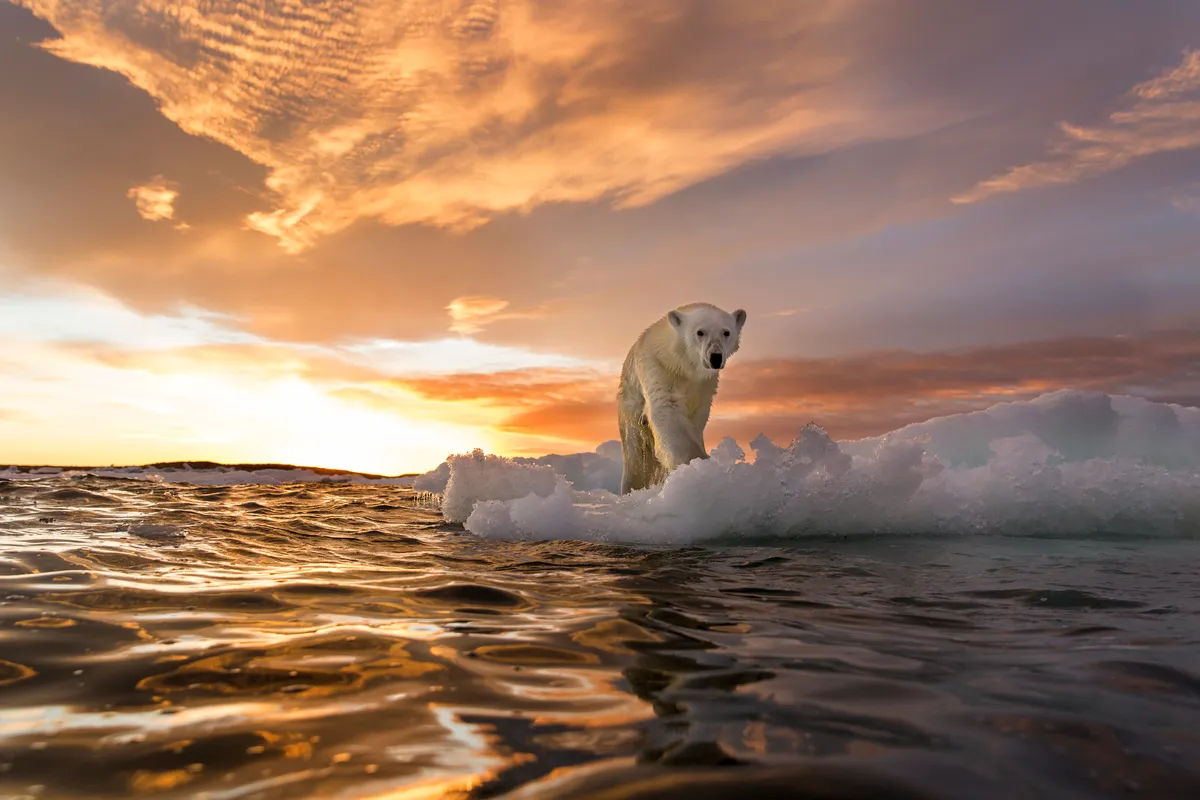
This is different from an iceberg which results from ice which formed on land but calves off a glacier or ice shelf into the ocean.
Importantly sea ice freezes and melts in the ocean with no effect on sea level. Icebergs are direct contributions of ice into the ocean and do contribute to changes in global sea level.
How do animals use icebergs?
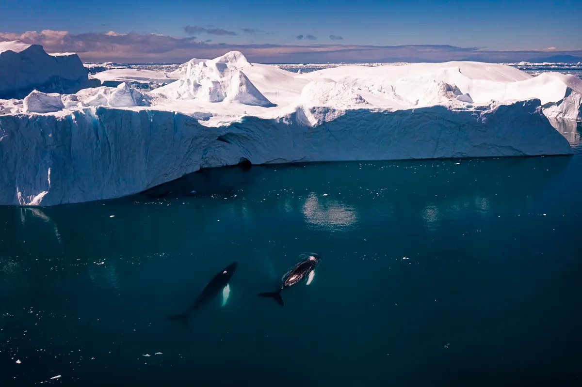
Icebergs can often be havens for wildlife since they provide rest-bite for air-breathing marine predators such as penguins and seals, and are often attractive to their major prey – zooplankton, krill and fish.
This is because icebergs (and bergy bits) frequently fertilise the ocean through the melting out of nutrient rich dust that has accumulated on their surfaces over tens if not hundreds of years.
These nutrients allow phytoplankton (marine algae at the bottom of the food chain) to thrive, providing a feast for zooplankton and krill and generating major hotspots of feeding activity for a range of larger animals, including the great whales.
Why do scientists study icebergs?
Biologists are interested in icebergs because of the large influence they often have on the distribution and abundance of organisms in polar oceans due to their effect on nutrient levels and salinity, from microscopic ice-algae through to blue whales.
Benthic biologists (scientists studying animals on the seabed) are also interested since icebergs can often scour the seabed of polar regions and disrupt the communities that live there, which are incredibly diverse and lock up lots of atmospheric carbon.
Climate change scientists are interested in the generation rates of icebergs since the calving of ice contributes to changes in global sea level and may be speeding up due to global warming.
Tracking the fate of icebergs can also reveal interesting oceanographic features, for instance where there is a lot of eddy activity or where currents diverge.
Of course, detecting icebergs of all sizes and forecasting their trajectories is also important to help ships operating in the polar regions stay safe.
When do icebergs occur?
Icebergs are present and can calve at any time. Often, they get trapped in sea-ice and may not emerge into the open-ocean until the sea-ice has retreated in the summer months.
Some glaciers, for example in West Greenland, have a seasonal calving pattern with higher calving rates during the summer months.
How are icebergs tracked to avoid collisions?
Large icebergs are monitored and named by the U.S. National Ice Center (NIC), but these are so large it is easy for ships to spot and avoid them. It is possible to detect icebergs in radar satellite imagery and the availability of this information is becoming more widespread among the national ice centres who provide regular ice charts to the maritime community.
In the Grand Banks area of the North Atlantic, the International Ice Patrol provide iceberg warnings including a limit of known icebergs. Small icebergs can still cause considerable damage to ships and are not detectable in satellite imagery but collisions are avoided through the use of ship’s crew as iceberg lookouts alongside ship-based radar.
The British Antarctic Survey (BAS) delivers and enables world-leading interdisciplinary research in the Polar Regions. BAS is a component of the Natural Environment Research Council (NERC).
Main image: An Adélie penguin on an iceberg in Antarctica. © Joseph Van Os/Getty
